Home / Topics / HS2 planned route 29
These photographs have been taken over several cycle rides in May and June 2020, showing the presently-planned route of HS2 (High Speed 2; Crewe to Bamfurlong section). Photos and their descriptions show how the route, if built as planned, will affect the landscape. The photos and descriptions are from north to south, and are my interpretation of the available maps and plans; they have no official status. For clarity, I am generally in favour of it being built.
For maps and other information, see the Government web site.
For maps and other information, see the Government web site.

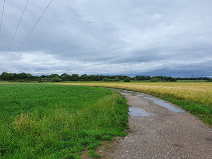 Heatley, Wet Gate Lane
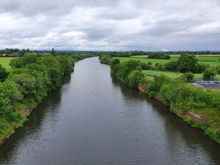 Warburton bridge
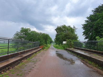 River Bollin
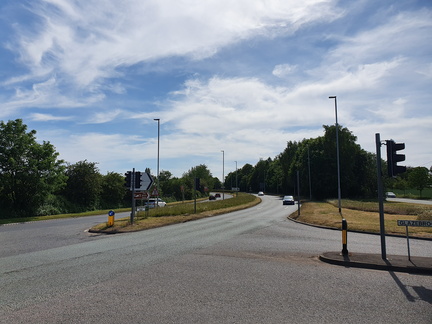 Hollins Green
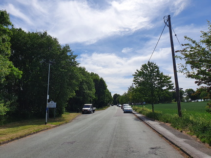 Hollins Green
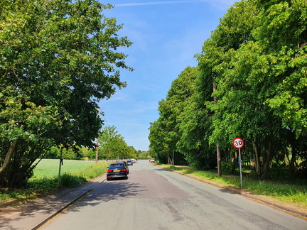 Hollins Green
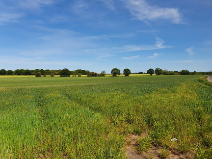 Glazebrook
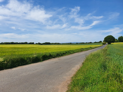 Dam Head Lane
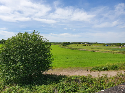 Glazebrook
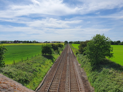 Glazebrook
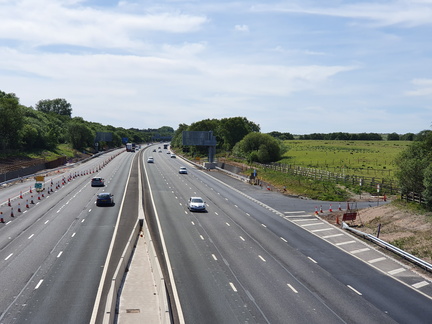 M62 crossing
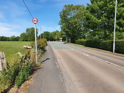 Culcheth
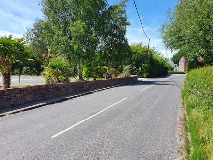 Culcheth
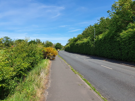 Culcheth
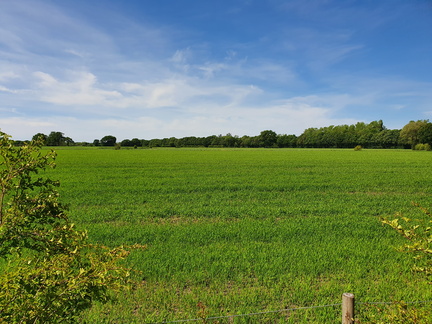 Culcheth
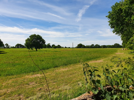 Culcheth Linear Park
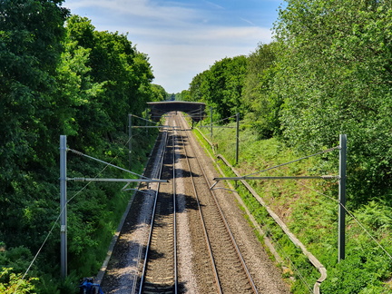 Liverpool & Manchester Railway crossing
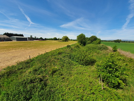 Wilton Lane, Kenyon
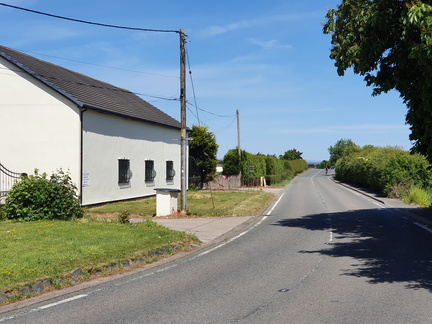 Wilton Lane, Kenyon
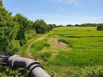 East Lancashire Road
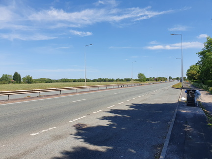 East Lancashire Road
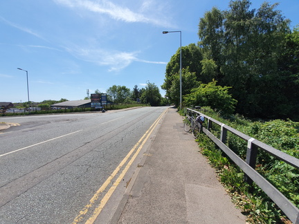 Lowton St Mary's
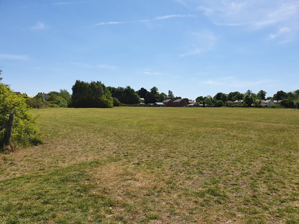 Lowton St Mary's
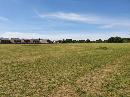 Lowton St Mary's
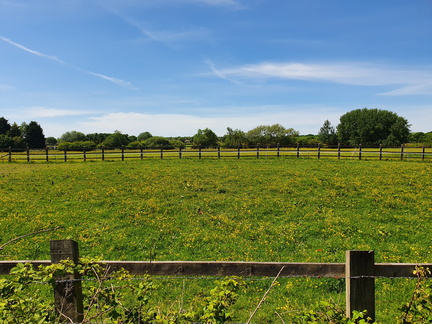 Lowton
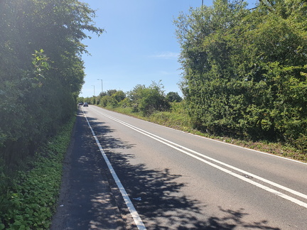 Bamfurlong - Lowton
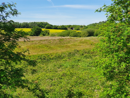 Bamfurlong - Lowton
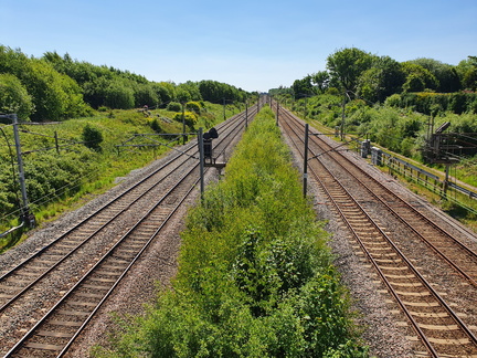 Bamfurlong station site
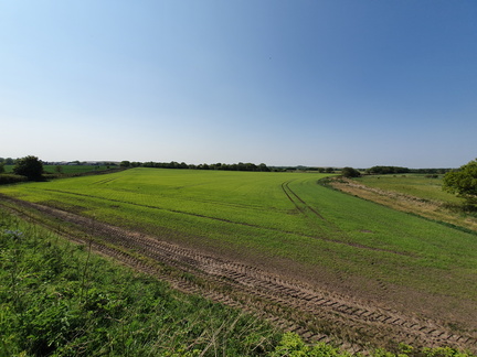 Glazebrook